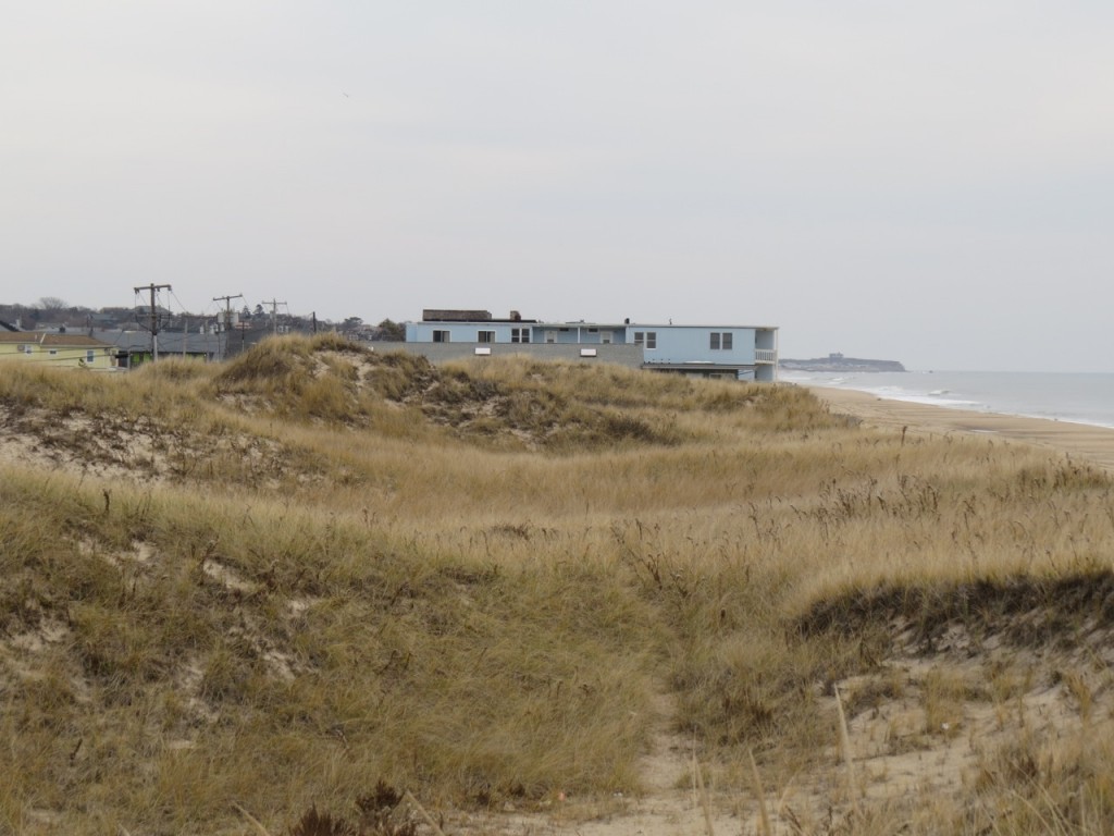
Members of the Eastern Long Island Chapter of Surfrider Foundation took to the field this month to document the conditions of the ocean beach and dune in the vicinity of downtown Montauk.
One year after Hurricane Sandy, the natural primary dune extending from South Emery Street west to the bluffs south of Old Montauk highway was found to be in excellent condition. The section of dune between South Emery Street and South Eton Street measured between 18 – 24 feet in height, 120 – 180 feet in width, and the average distance between the new moon high tide line and the seaward toe of the dune was 70 feet. The primary dune here provided excellent protection from storm surge and surf associated with Sandy.
The situation east of South Emery Street was a completely different story. Most of this stretch of ocean beach has no primary dune, a result of motel and condo construction where the original primary dune was located. Distances between the new moon high tide line and the seaward edge of decks and foundations found at Ocean End, Ocean Surf, Ocean Beach and the Royal Atlantic motels ranged between 56 – 72 feet. When compared to distances measured at the natural dune to the west, these measurements confirm that portions of the motels are located directly atop where the natural dune line would be.
The Eastern Long Island Chapter of Surfrider Foundation supports the Army Corps of Engineers option that calls for rebuilding the primary dune in alignment with the natural dune line west of Emery Street. This option has the dual benefit of providing protection for a large section of downtown Montauk while initiating critical long-term planning that best deals with the nature of our dynamic shoreline.


